Welcome to
BlueEnergy Build
Experience innovation with BlueEnergy Build Private Limited (BEBPL), a leader in survey, investigations, and solutions. Through topographical, hydrological, geological, geophysical, hydrogeological, environmental, and Remote Sensing GIS investigations, we drive towards a sustainable future, one discovery at a time.
Sustainable Solutions for a Better Future
At BlueEnergy Build Private Limited(BEBPL), we offer a comprehensive range of services aimed at unlocking the Earth's potential and fostering sustainable solutions. Our expertise spans across various domains, are designed to make a positive impact, shaping a future where resources are managed wisely and responsibly.
%
Happy Customers in Geo-Explorations (Map)
Topographical & Drone Survey
Topographical and drone surveys provide accurate mapping and data collection of land and structures, offering valuable insights for construction, planning, and land development.
Water Management Plans
Water management plans encompass strategies and practices for the sustainable use, conservation, and efficient allocation of water resources, vital for environmental stewardship and long-term resource availability.
Mineral Exploration
Mineral exploration involves prospecting, drilling, and geological analysis to discover valuable mineral deposits beneath the Earth's surface, crucial for resource industries and economic development.
Groundwater Exploration
Groundwater exploration involves geophysical surveys, drilling, and testing to locate and access underground water sources, essential for clean drinking water and sustainable resource management.
Customized Solutions
Customized solutions are tailor-made and individualized approaches or products designed to meet specific needs, preferences, or requirements, ensuring optimal outcomes and customer satisfaction.
Sewage and Water Treatment Solutions
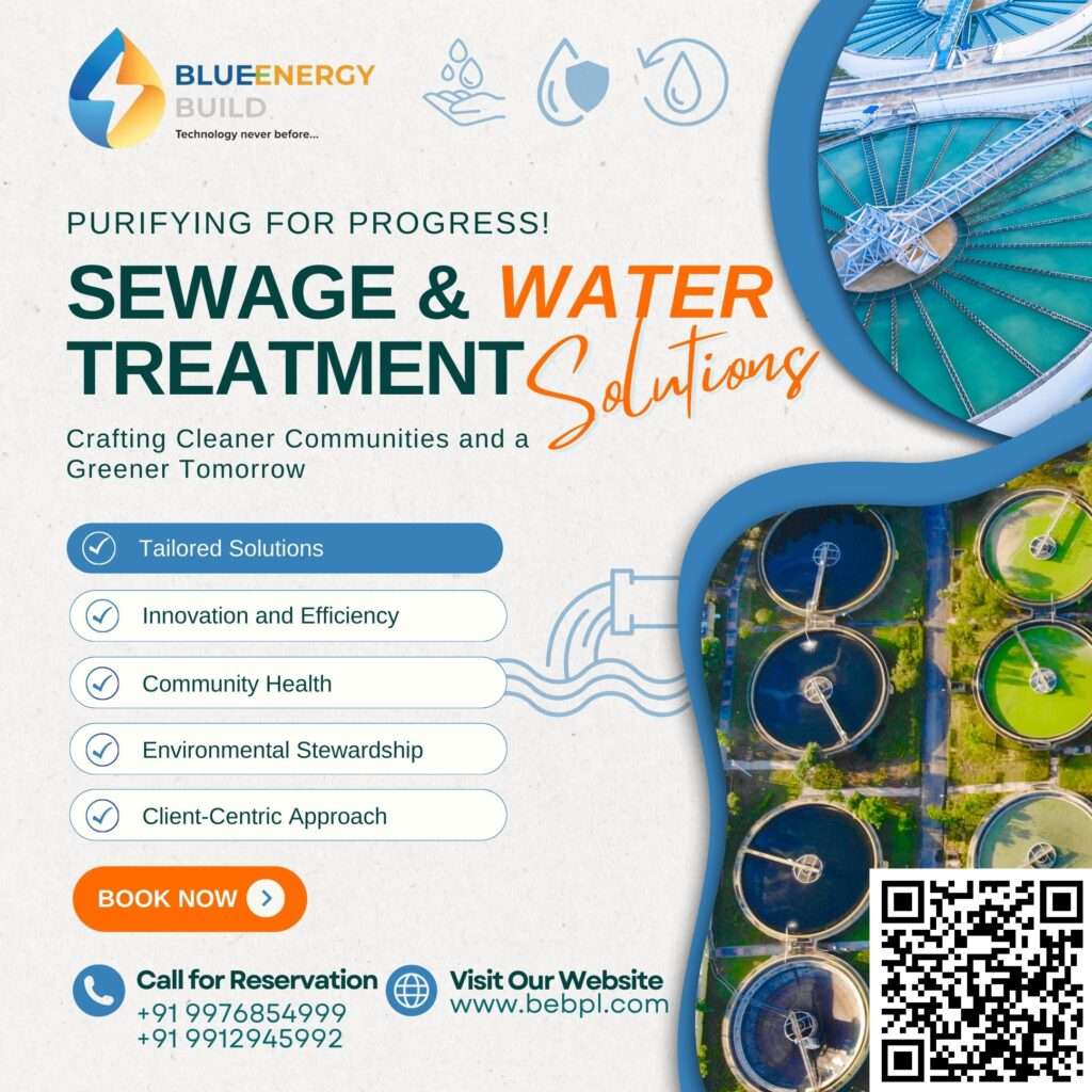
Sewage and water treatment solutions encompass advanced processes and technologies for treating wastewater and potable water, ensuring environmental protection and safe, clean water supply.
Rainwater Harvesting
Rainwater harvesting is the practice of collecting, storing, and using rainwater for various purposes, such as irrigation, landscape maintenance, and even potable water supply, promoting water conservation and sustainable resource management.
Water Quality Testing
Water quality testing involves rigorous analysis of water samples to assess chemical, physical, and microbial properties, crucial for ensuring safe and reliable water for drinking, industrial processes, and environmental protection.
Groundwater Modeling
Groundwater modeling employs computer simulations and mathematical techniques to understand the movement and behavior of groundwater within aquifers, aiding in resource management, environmental impact assessments, and long-term planning.
Geotechnical Surveys
Geotechnical surveys involve in-depth investigations of soil and rock properties at construction sites to assess foundation stability, soil composition, and ground conditions, ensuring safe and efficient building and infrastructure projects.
GPR Survey
GPR (Ground Penetrating Radar) surveys use radar technology to image subsurface structures and materials, valuable for locating utilities, archaeological features, and assessing geological characteristics for various applications.
Remote Sensing & GIS Mapping
Remote sensing and GIS mapping utilize satellite and aerial imagery to collect and analyze geographical data, supporting diverse applications, including environmental monitoring, land use planning, and disaster management.
Detail Project Report (DPR) Services
Detailed project report services involve comprehensive planning, analysis, and documentation to outline project objectives, scopes, budgets, and timelines, providing a roadmap for successful project execution and management.
Environmental Impact Assessment (EIA) Studies
Environmental Impact Assessment (EIA) studies are comprehensive investigations to evaluate the potential environmental, social, and economic effects of proposed projects or activities, ensuring sustainable development and regulatory compliance.
Hydrological & Hydrogeological Surveys
Hydrological and hydrogeological assessments involve the in-depth analysis of surface and subsurface water systems, supporting critical decision-making in various sectors such as water resource management, EIA, and land development planning.


