BlueEnergy Build
Topographical & Drone Survey
At BEBPL, we bring you a holistic survey approach that combines both topographical and drone surveys.
Topographical & Drone Survey combine to offer a comprehensive view of land features and elevations. We help you plan projects better, reduce risks, and make informed decisions. With accurate data from both sources, your projects gain a strong start.
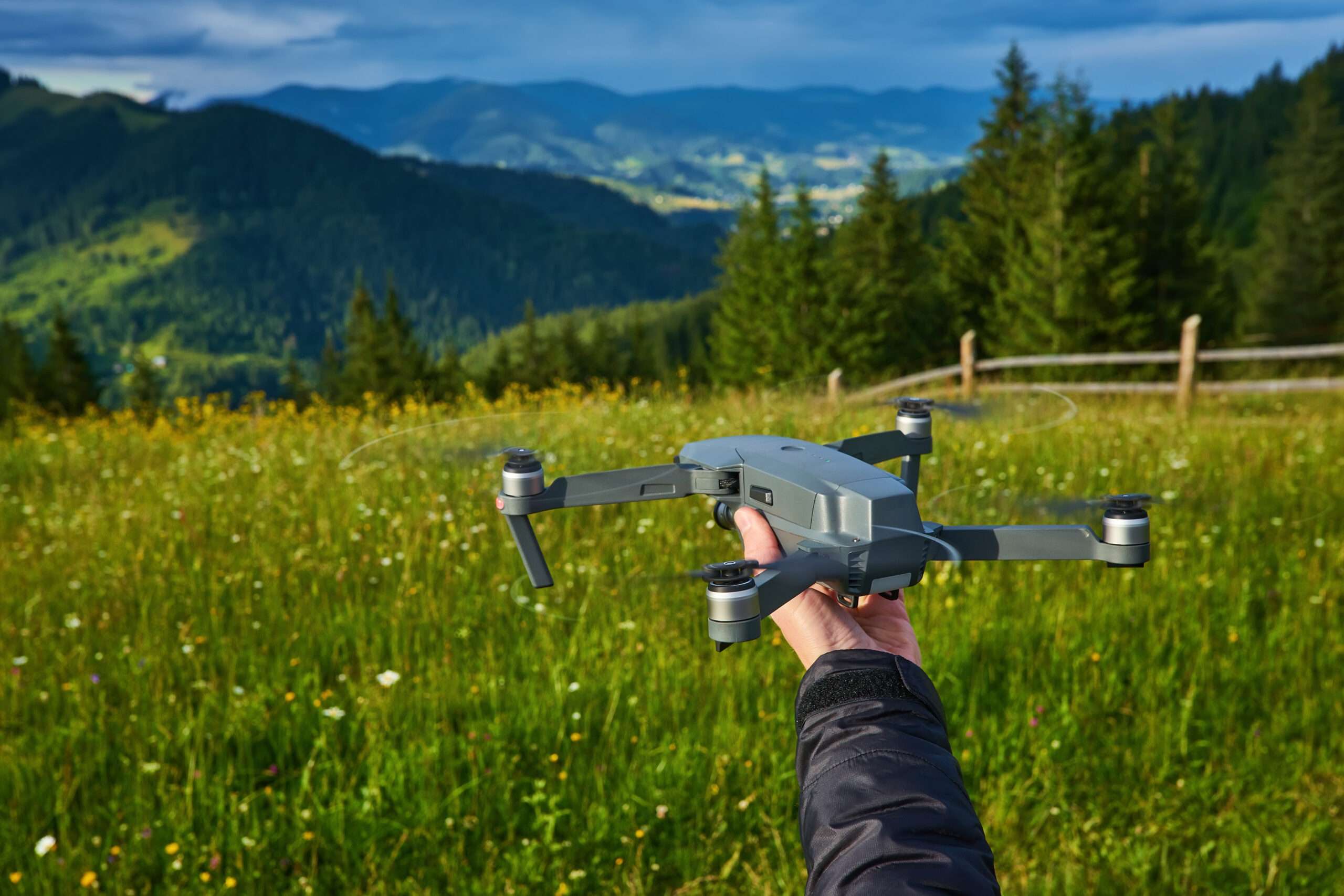
BEBPL Surveys dive deep into the intricate details of land features, elevations, and contours, providing you with a meticulous foundation for project planning and design. On the other hand, our Drone Surveys take to the skies, capturing high-resolution aerial views that offer a broader perspective of your site.

Whether it’s understanding site complexities, visualizing drainage patterns, or obtaining accurate measurements, our combined surveys provide you with the insights needed to navigate your project with precision. With BEBPL’s detailed and integrated survey solutions, you’re empowered to plan, build, and succeed with confidence
Topographical & Drone Survey Services
Elevate your project with precision and efficiency through our Survey solutions. Our cutting-edge technology combines cartography mapping and drone capabilities to deliver unparalleled accuracy and comprehensive insights.
Key Features:
- Detailed Terrain Mapping: Our surveys provide in-depth topographic data, offering a clear understanding of the land’s features and elevations.
- Drone Precision: Utilizing advanced drones, we capture high-resolution imagery, ensuring thorough coverage of expansive areas with efficiency.
- Informed Decision-Making: Empower your project planning with accurate data, enabling informed decisions for optimal outcomes.
